


SUB-BASIN PROFILE
Lower Mississippi River Sub-basin
The Lower Mississippi River Basin is a crucial and dynamic region in the United States, extending from Cairo, Illinois, to the Gulf of Mexico. Here’s an overview:
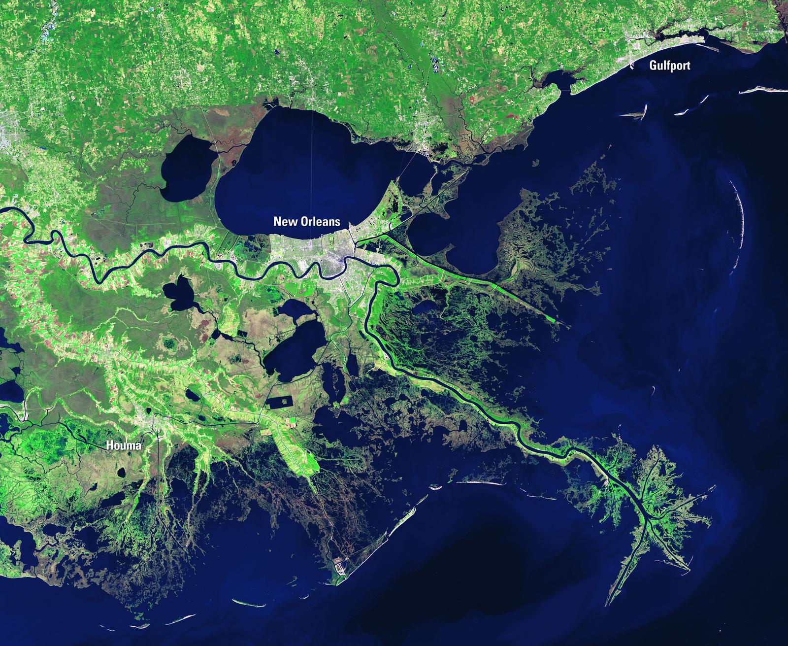
Geography
Area: The basin covers parts of several states, including Illinois, Missouri, Kentucky, Tennessee, Arkansas, Mississippi, and Louisiana.
Length: The Lower Mississippi River flows approximately 990 miles from its confluence with the Ohio River at Cairo, Illinois, to the Gulf of Mexico.
Landscape: The region features a mix of alluvial plains, loessal bluffs, and coastal wetlands.
Key Features
Navigation: The Lower Mississippi is one of the most heavily traveled waterways in the United States, crucial for transporting agricultural and industrial goods. Unlike the upper sections, it has no locks or dams, but it is managed with levees and dikes to control flooding and maintain a navigable channel.
Flood Control: The Mississippi River and Tributaries Project includes levees, floodways, and spillways to manage flood risks and protect communities.
Ecosystems: The basin supports diverse ecosystems, including wetlands, bottomland hardwood forests, and a variety of aquatic habitats. These areas are vital for wildlife and provide important ecological services.
Uses
Transportation: The river is a major transportation route, supporting a significant portion of the U.S. economy by moving goods such as grain, coal, and petroleum.
Agriculture: The fertile floodplains are used extensively for agriculture, producing crops like cotton, soybeans, and rice.
Recreation: The basin offers numerous recreational opportunities, including fishing, boating, and wildlife observation.
Water Supply: It provides water for millions of people and supports various industrial activities.
Challenges
Environmental Impact: The basin faces issues such as nutrient pollution from agricultural runoff, leading to hypoxia in the Gulf of Mexico. Habitat loss and water quality degradation are also significant concerns.
Infrastructure: Maintaining and upgrading the aging infrastructure, including levees and navigation channels, is a continuous challenge.
| Project | Sub-Basin | Location | Type | Implementer | Status | Cost | Benefits |
|---|---|---|---|---|---|---|---|
| Flyway Forests Wetlands | Lower Mississippi | Memphis, Tennessee | 24 | Ducks Unlimited | Accepting Funding | $4,600,000 | Volumetric, Water Quality |
| Bald Cypress Reforestation & Water Quality Trading Credits – Coastal Louisiana | Lower Mississippi | New Orleans, Louisiana | 16 | Restore the Earth Foundation | Accepting Funding | — | Volumetric, Water Quality |
| Rice Stewardship Partnership | Lower Mississippi | Mississippi County, Arkansas | 4 | Ducks Unlimited | Accepting Funding | $20,000,000 | Volumetric, Water Quality |
| AgriCapture Louisiana Rice Water Stewardship Project | Lower Mississippi | St. John the Baptist Parish, Louisiana | 6 | AgriCapture | Accepting Funding | $1,600,000 | Volumetric, Water Quality |
Bald Cypress Reforestation & Water Quality Trading Credits – Coastal Louisiana
AgriCapture Louisiana Rice Water Stewardship Project
No projects match the selected filters.